Some time ago, I discovered that several of my ancestors were cartographers and engineers. It was actually a relief to finally understand why I had always been fascinated by maps and land, often striding that extra mile to see what was around the corner, or over the next hill, often to the frustration of my accompanying family or friends, who would rather go in the direction of the local hostelry! That said, I have been known to plan my route between tea rooms during some expeditions!
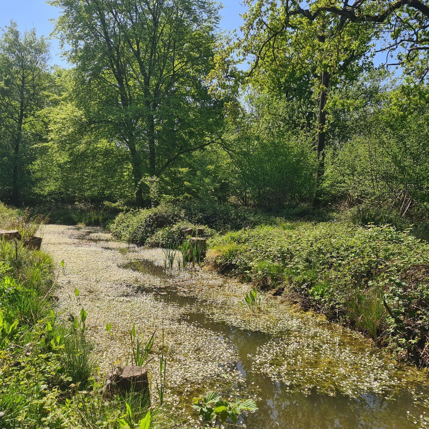
Without me realising, my genetic make-up has shaped my life in farming and conservation, definitely not a path that anyone in my family, or indeed my school careers advisor, predicted I would take. I always feel like a detective when exploring land, looking for clues both past and present. Even with the amazing technology we now have at our fingertips, such as Google Earth, there is no substitute for also seeing and walking the land to really begin to understand the detail. Only with that detail can we start to practically consider the current and future land management.
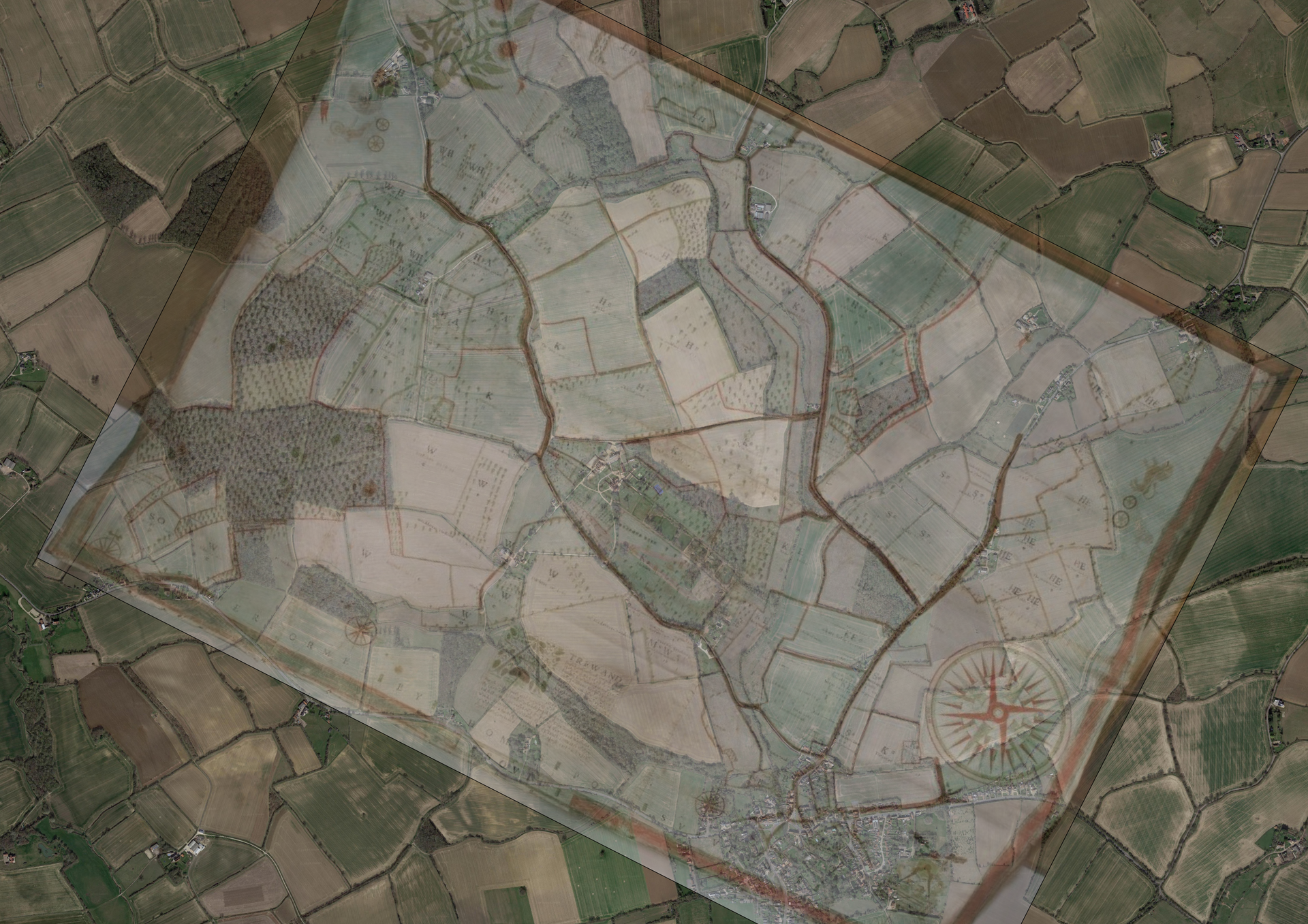
Luckily for me, I’m in my natural habitat, having ended up on an Estate that has a great selection of historic maps, the oldest dated 1618, being hand-drawn by Pope on hand-stitched together vellum. When a photo of this map is overlaid onto Google Earth, it is almost an exact match. I find this completely extraordinary that such accuracy could be achieved over four hundred years ago.